
Filter
Bestseller
Rating value is 0 of 5
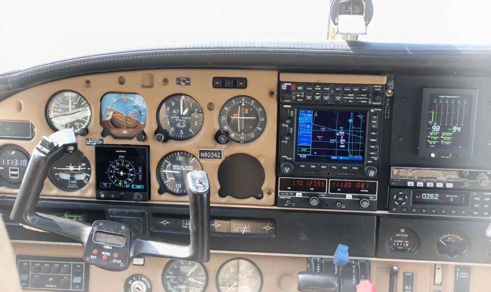
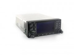
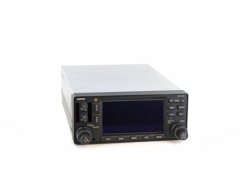
Garmin GNS 430
IFR Panel Mount GPS/COM/NAV
Auf Lager
€ 5 503,27
€ 4 624,60 exkl. MwSt.

Rating value is 0 of 5
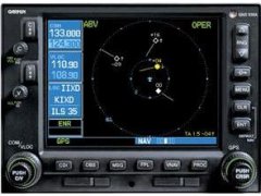
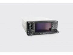
Garmin GNS 530
IFR Panel Mount GPS/COM/NAV
Auf Lager
€ 6 603,91
€ 5 549,50 exkl. MwSt.

Rating value is 0 of 5
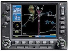
Garmin GNS 530W
IFR Panel Mount GPS/COM/NAV, WAAS
Auf Lager
€ 8 805,17
€ 7 399,30 exkl. MwSt.

Rating value is 0 of 5
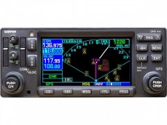
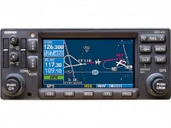
Garmin GNS 430W
IFR Panel Mount GPS/COM/NAV, WAAS
Normalerweise 7 Wochen
€ 7 704,54
€ 6 474,40 exkl. MwSt.
Rating value is 0 of 5
Garmin GNS 430A
IFR Panel Mount GPS/COM/NAV
Auf Lager
€ 6 603,91
€ 5 549,50 exkl. MwSt.
Rating value is 0 of 5
Garmin GNS 530A
IFR Panel Mount GPS/COM/NAV
Auf Nachfrage erhältlich
Rating value is 0 of 5
Garmin GNS 430AW
IFR Panel Mount GPS/COM/NAV, WAAS
Auf Nachfrage erhältlich

Rating value is 0 of 5
Garmin GNS 530AW
IFR Panel Mount GPS/COM/NAV, WAAS
Auf Nachfrage erhältlich


